


Published July 2026 · Last updated: September 2026
Current Status: September 2026
No eruption is underway on the Reykjanes Peninsula as of September 2026. The most recent eruption — the twelfth in the sequence that began in 2021 — ran on the Sundhnúkur crater row from 16 July to 5 August 2025. The Icelandic Meteorological Office reports that land continues to rise at Svartsengi, with roughly 29 million cubic metres of magma accumulated since that eruption, and assesses a new dike intrusion — possibly followed by an eruption — as the most likely next development. Seismic activity around Grindavík remains low, with a slight recent uptick in small earthquakes. The official hazard assessment is revised on a rolling basis at en.vedur.is; the current one runs to 30 September 2026.
What that means for a visit right now: flights, Reykjavík, the Blue Lagoon and the peninsula’s main roads are operating normally. The situation can change with hours’ notice — which is why the sources below, not news headlines, should be your reference on the day of travel.
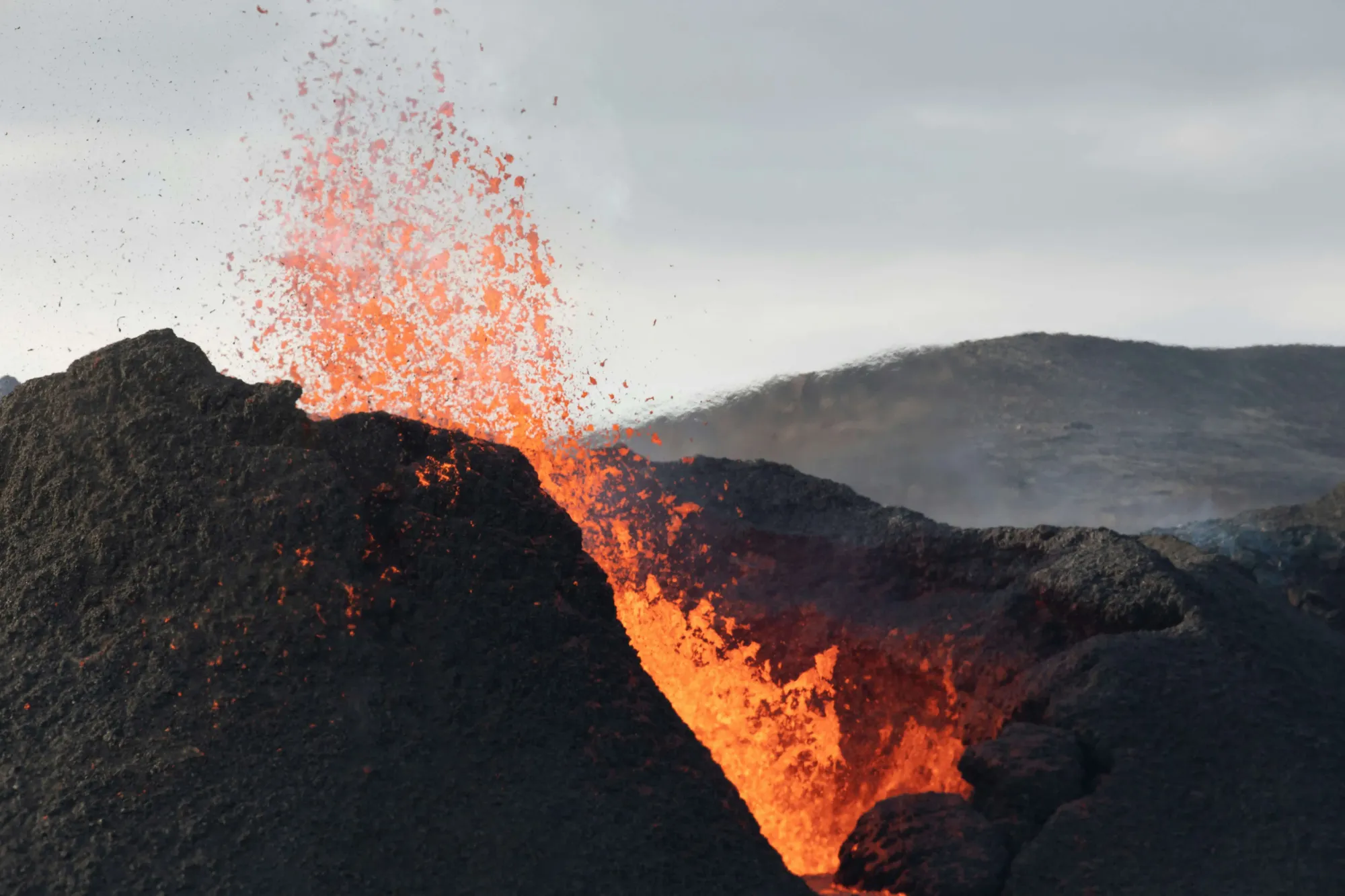
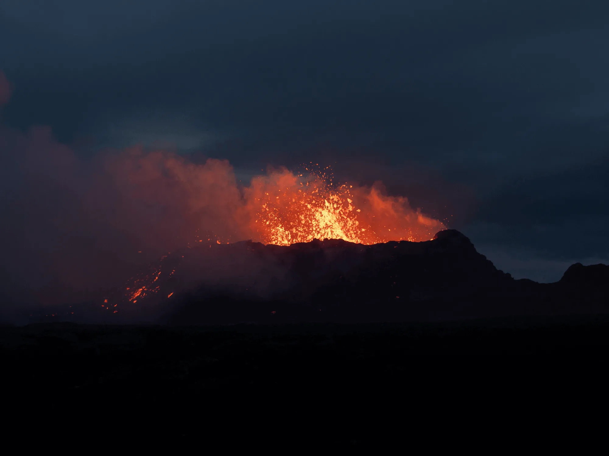
The Reykjanes Peninsula in southwest Iceland has been in an active volcanic eruptive phase since Fagradalsfjall began erupting in March 2021 — the first eruption on the peninsula in approximately 800 years. Exclusion zone boundaries and road access change with short notice based on live seismic data. Almannavarnir (Icelandic Civil Protection and Emergency Management) publishes authoritative access decisions at almannavarnir.is; the Icelandic Meteorological Office (Veðurstofa Íslands) publishes live hazard and gas concentration data at en.vedur.is.
Key takeaways
- The peninsula sits directly on the Mid-Atlantic Ridge, where the Eurasian and North American tectonic plates diverge at about 2 cm (up to 2.5 cm) per year — the structural driver of all Reykjanes volcanic activity
- Fagradalsfjall began erupting in March 2021; the Sundhnúkagígar crater row produced additional eruption events from late 2023, forcing repeated evacuations of Grindavík
- The Blue Lagoon (Bláa Lónið) is open as of September 2026; it has closed temporarily during past eruption events, so verify status at bluelagoon.is if an eruption begins before your visit
- For live peninsula access: check almannavarnir.is, en.vedur.is, and safetravel.is on the day of travel — not the day before
- Volcano Express at Harpa Concert Hall runs daily 10:00–20:00, indoor and weather-independent, unaffected by peninsula exclusion zone status
What type of volcano is the Reykjanes Peninsula?
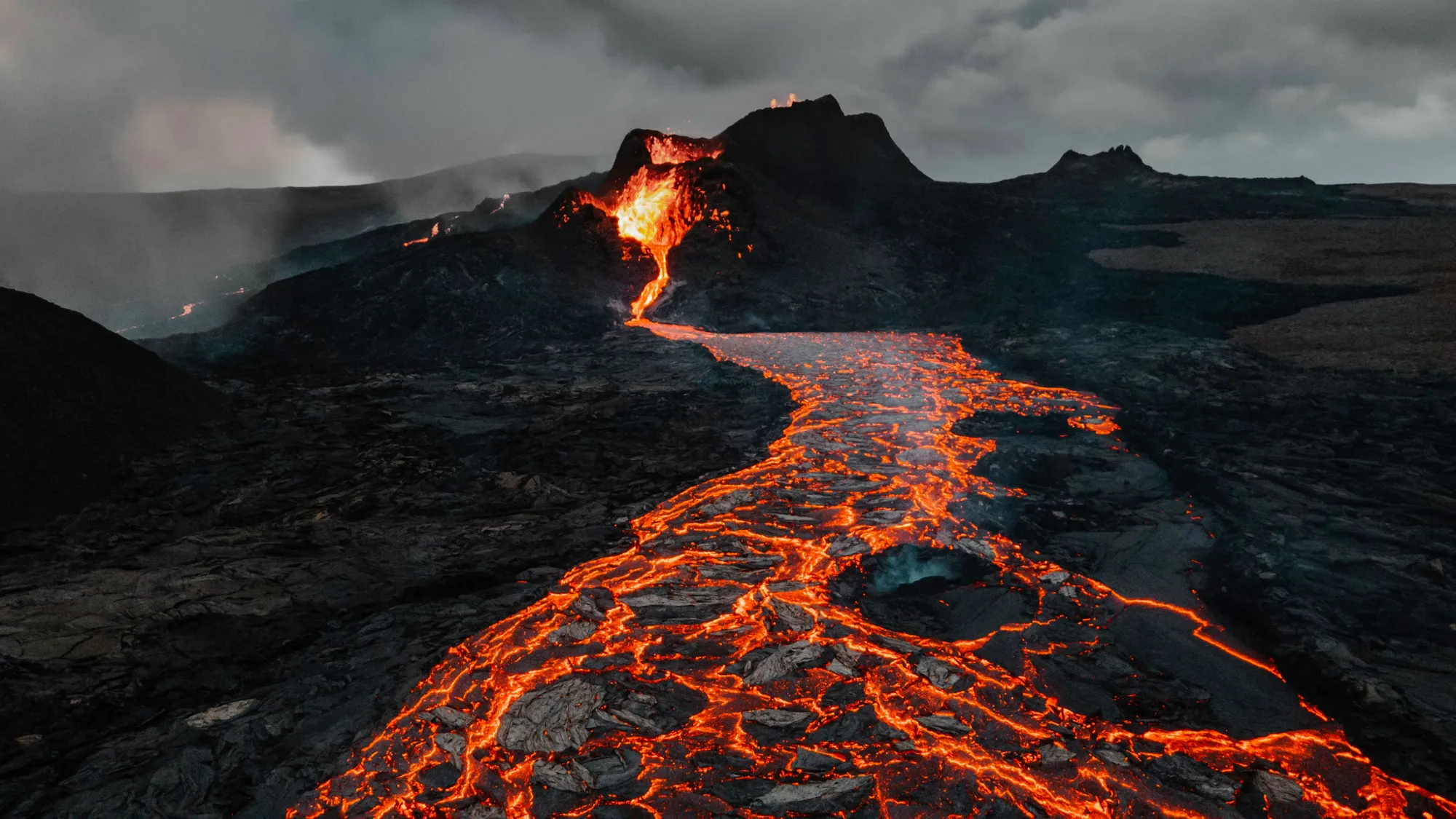
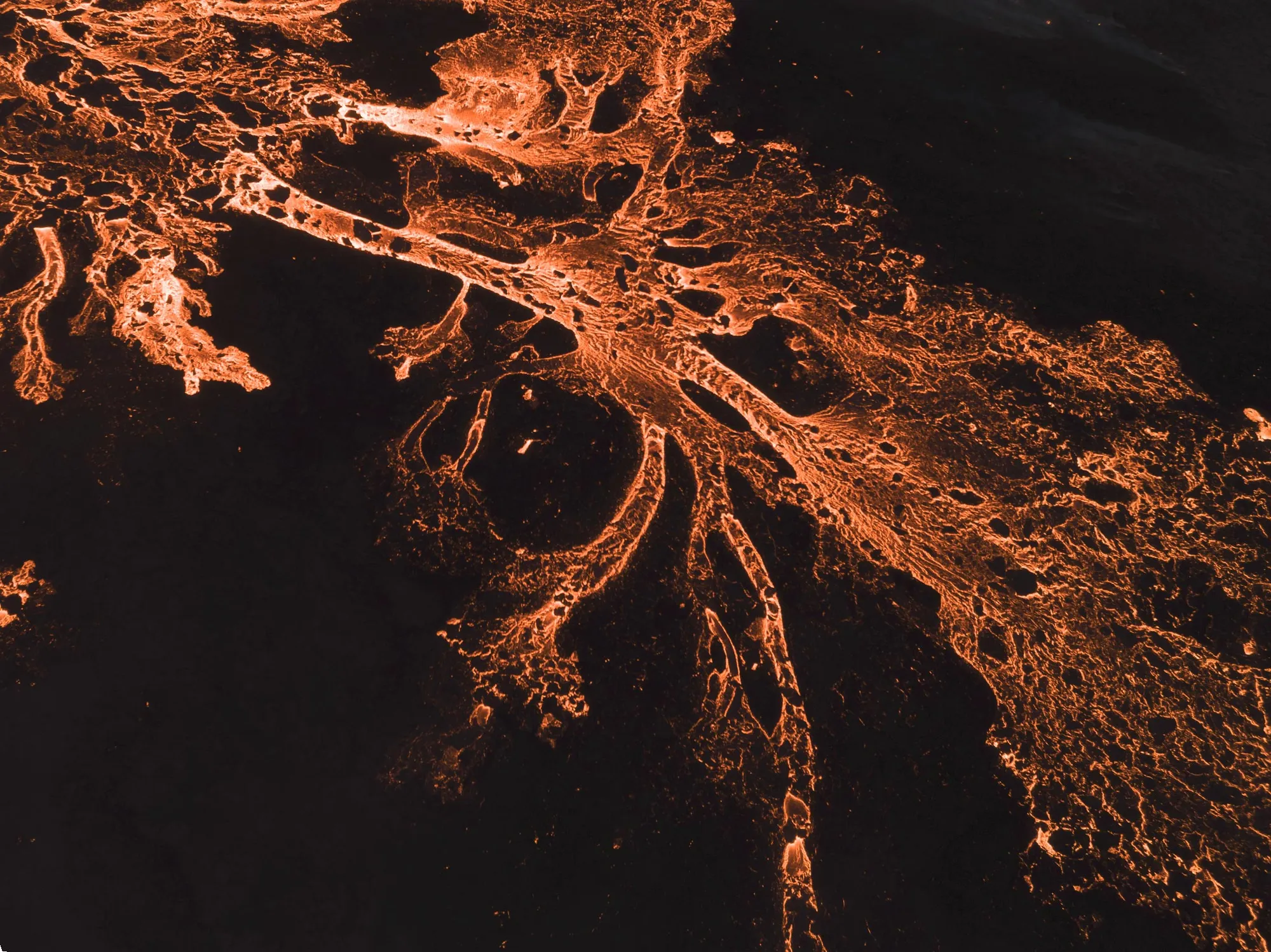
The Reykjanes Peninsula is a fissure eruption zone — not a single central cone volcano — where lava erupts through long linear crack systems in the earth's crust, producing effusive lava flows rather than large explosive ash columns. This eruption type is a direct consequence of the peninsula's position on the Mid-Atlantic Ridge, where plate divergence creates linear rift structures rather than the concentrated volcanic peaks found at Iceland's central volcanoes.
The distinction matters for visitor safety. Fissure eruptions typically produce slower-moving lava flows that can be monitored and avoided with adequate warning time — unlike the explosive pyroclastic events associated with subglacial volcanoes such as Eyjafjallajökull. However, volcanic gas emissions — particularly sulphur dioxide (SO₂) — present a significant hazard that extends well beyond the visible lava zone. According to the Icelandic Meteorological Office, SO₂ concentrations at dangerous levels have been detected several kilometres downwind of active Reykjanes fissures during current-cycle eruption events.
Key volcanic systems on the peninsula
The peninsula contains multiple active fissure systems aligned along its length:
- Fagradalsfjall volcanic system — source of the 2021, 2022, and 2023 eruption events on the northern-central peninsula
- Svartsengi volcanic system — the system beneath the Sundhnúkagígar crater row, responsible for eruption events beginning in December 2023 and directly threatening Grindavík and the Blue Lagoon geothermal area
- Eldvörp volcanic fissure — a historic crater row on the central peninsula, part of the geologically active Reykjanes volcanic system
- Reykjanes volcanic system — the southwestern tip of the peninsula, home to Gunnuhver hot spring mud pool and Reykjanesviti lighthouse
The entire peninsula holds Reykjanes UNESCO Global Geopark designation — one of only two UNESCO Global Geoparks in Iceland — recognising its internationally significant active geology.

Is it safe to visit the Reykjanes Peninsula right now?
Whether the peninsula is safe on any given day depends entirely on the current eruption status, which changes with short notice — so the only reliable answer is to check Almannavarnir (Civil Protection) at almannavarnir.is and the Icelandic Met Office at en.vedur.is on the morning of travel. When no vent is active, the peninsula's geothermal sites, lighthouse, and towns are open and safe. During an eruption, Civil Protection sets exclusion zones and closes roads around the active fissures.
What visitors can and can't do during active eruption periods:
- Usually open: Keflavík, Reykjanesbær, Gunnuhver, and Reykjanesviti — plus Keflavík International Airport, which stayed operational throughout the 2021–2024 cycle.
- Opens and closes on the day: lava-field trails (Fagradalsfjall, Sundhnúkagígar) and the Grindavík / Blue Lagoon area. Never enter a closed exclusion zone — boundaries are set on live hazard data.
- The hidden hazard is gas, not just lava: sulphur dioxide (SO₂) can reach dangerous levels several kilometres downwind of a fissure. The Met Office publishes live gas-dispersion forecasts at en.vedur.is — check them even well outside the visible lava zone.
- Never rely on yesterday's information — exclusion zones shift on overnight seismic data, so verify on the morning you travel, not the day before.
How often does the Reykjanes Peninsula produce volcanic eruptions?
The Reykjanes Peninsula had no surface eruptions for approximately 800 years before March 2021 — when Fagradalsfjall began erupting, marking the start of a new eruptive cycle that has produced multiple separate eruption events through 2024. The current cycle follows a historical pattern: the peninsula experiences intense active periods spanning decades, separated by centuries of dormancy.
Geological records show the peninsula last experienced a comparable eruptive period roughly 800–1,100 years ago, during which multiple fissure systems erupted across a span of approximately 300 years. The current reactivation is consistent with this long-cycle behaviour. Individual eruption episodes within the present cycle have varied significantly in duration — some lasting days, others continuing for weeks or months.
The Sundhnúkagígar crater row fissure system — part of the Svartsengi volcanic system — began producing eruption events in December 2023. These events triggered multiple evacuations of Grindavík, the fishing town of approximately 3,600 residents located on the peninsula's southern coast. The Icelandic Meteorological Office monitors the peninsula continuously through a dense network of seismic sensors and GPS ground deformation instruments that detect subsurface magma movement before surface eruptions occur.
For a complete chronological record of each eruption event with dates and access impacts, Iceland Eruption Timeline: Reykjanes Activity (2021–2026) documents the full cycle through 2026.
| Date | Volcanic system | Event | Visitor impact |
|---|---|---|---|
| Mar 2021 | Fagradalsfjall | First Reykjanes eruption in ~800 years | Popular managed viewing; trails opened |
| Aug 2022 | Fagradalsfjall | Renewed fissure eruption | Trail access managed by Civil Protection |
| Jul 2023 | Fagradalsfjall | Further fissure eruption | Short-notice trail closures |
| Dec 2023 | Svartsengi / Sundhnúkagígar | New crater-row eruption | Grindavík evacuated |
| 2024 | Svartsengi / Sundhnúkagígar | Multiple further events | Blue Lagoon closures, road restrictions |
"Iceland's volcanic systems are among the most intensively monitored on Earth — continuous seismic and GPS data allows tracking of subsurface magma movement as it develops, enabling timely public warnings before eruptions begin." — Icelandic Meteorological Office (Veðurstofa Íslands)
Reykjanes Peninsula geography, geology, and geothermal areas
The Reykjanes Peninsula in Iceland is a 50-kilometre-long landmass in the country's southwest, beginning immediately west of Reykjavík and running to the tip at Reykjanesviti lighthouse — the only place on Earth where a mid-ocean ridge is exposed above sea level along its full length and fully traversable by road. The peninsula covers approximately 1,200 km² and is designated Reykjanes UNESCO Global Geopark.
Key geographic and practical facts for reykjanes peninsula iceland visitors:
- Distance from Reykjavík: Keflavík International Airport is located on the northwestern peninsula, 50 km from Reykjavík — approximately 45 minutes by road on Route 41
- Towns: Grindavík (southern coast), Keflavík and Njarðvík (northwest, both within Reykjanesbær municipality)
- UNESCO status: Reykjanes UNESCO Global Geopark — covers the entire peninsula and recognises its outstanding geological value
- Geothermal power: the Svartsengi geothermal power plant near Grindavík generates electricity and hot water from geothermal brine; the Blue Lagoon spa uses the plant's cooling water outflow
Gunnuhver hot spring mud pool on the southwestern tip is the largest boiling mud pool in Iceland — a hydrothermal field where ground temperatures exceed 200°C and steam vents continuously from fissures in the volcanic rock. Viewing platforms provide safe close-range access from a designated boardwalk. Reykjanesviti, Iceland's oldest active lighthouse, stands metres from Gunnuhver at the peninsula's southwestern extremity.

Planning a Reykjanes Peninsula day trip: what's accessible and when
A Reykjanes Peninsula day trip from Reykjavík covers Gunnuhver hot springs, Reykjanesviti lighthouse, Keflavík, and Fagradalsfjall lava fields in a single day — but access to specific sites, including the Blue Lagoon and lava field trails, depends on eruption status and Civil Protection exclusion zone boundaries on the travel date. The drive from central Reykjavík to the southwestern tip takes approximately 50–60 minutes via Route 41 and Route 425.
Access must be verified before departure from three authoritative sources:
- almannavarnir.is — exclusion zone maps, road closure status, evacuation decisions (Almannavarnir, updated in real time)
- en.vedur.is — seismic alert levels, eruption warnings, volcanic gas concentration data
- safetravel.is — consolidated tourist travel advisories and road access status
A reykjanes peninsula day trip sequence when access is fully open:
- Keflavík and Reykjanesbær — northwestern peninsula; always accessible; primary services and airport town
- Gunnuhver geothermal area — southwestern tip via Route 425; free entry, established boardwalk, no booking required
- Reykjanesviti lighthouse — adjacent to Gunnuhver; Iceland's oldest active lighthouse; free access
- Fagradalsfjall lava fields — central-north peninsula via Route 427 and marked walking trails; check almannavarnir.is for current exclusion zone status before departure
- Blue Lagoon (Bláa Lónið) — northern approach from Grindavík; requires advance booking at bluelagoon.is; verify current operational status before booking transport
The Blue Lagoon requires reservations at least 24–48 hours in advance — same-day walk-up access is not available. The lagoon has temporarily closed multiple times during Svartsengi volcanic activity since 2021; operational status changes independently of other peninsula sites.
What are the key reykjanes peninsula things to do?
The peninsula's primary visitor experiences are Gunnuhver geothermal area, Fagradalsfjall lava fields, the Blue Lagoon, Reykjanesviti lighthouse, the Eldvörp volcanic fissure row, and coastal birdwatching at the sea cliffs — with geothermal sites accessible year-round and lava field access determined by ongoing eruption status. A reykjanes peninsula tour from Reykjavík takes a full day to cover the peninsula's main sites.
Geothermal and geological sites
- Gunnuhver — Iceland's largest boiling mud pool; free entry; established viewing platforms; year-round access
- Eldvörp volcanic fissure — a historic crater row on the central peninsula providing geological continuity context for the current eruption cycle; accessible by unpaved road in dry conditions
- Reykjanesviti — Iceland's oldest active lighthouse at the peninsula tip; free access year-round; dramatic coastal scenery
- Svartsengi geothermal plant — visible from the Blue Lagoon approach road; the facility that makes the lagoon's silica-rich water available
Active lava field access
- Fagradalsfjall lava fields — formed across the 2021, 2022, and 2023 eruption events; marked walking trails from car parks off Route 427; access changes with Civil Protection decisions
- Sundhnúkagígar lava flows — the post-2023 lava fields from the Svartsengi system; access controlled by Almannavarnir based on active hazard assessments
Towns on the peninsula
- Keflavík — the peninsula's primary commercial town; home to Keflavík International Airport, which has remained fully operational throughout the current eruptive cycle
- Grindavík — southern coast fishing town with the closest proximity to the Svartsengi volcanic system; access has been subject to evacuation orders and variable restrictions since late 2023
For current Fagradalsfjall eruption status and lava field trail access, Is Fagradalsfjall Still Erupting? Iceland Status 2026 tracks each eruption event with current access information.
Where can I safely experience Iceland's volcanoes from Reykjavík?
Volcano Express at Harpa Concert Hall is an indoor, year-round, weather-independent cinematic motion-simulator volcano experience in central Reykjavík, using footage from the 2021–2024 Reykjanes Peninsula eruptions. Located on floor K2 of Harpa Concert Hall, Austurbakki 2 — on Reykjavík's eastern waterfront — the experience includes a 30-minute self-guided pre-show area with live eruption footage, an interactive eruption map of the peninsula's fissure systems, and a live earthquake monitor displaying real seismic data from Iceland's active volcanic zones. A 10-minute cinematic ride follows, with dynamic motion seating and real heat effects calibrated to the forces of a fissure eruption. Shows start every 15 minutes from 10:00 to 20:00 daily. Volcano Express runs regardless of peninsula road access, exclusion zone status, or weather — the geological story of the specific Sundhnúkagígar and Fagradalsfjall eruption events is available from Reykjavík's waterfront every day of the year.

Before you head to the peninsula
The single most important step before any peninsula visit is checking almannavarnir.is and safetravel.is on the morning of travel — exclusion zone boundaries shift based on overnight seismic data, and access that was open the previous evening may be restricted by departure time. On days when access is restricted or conditions uncertain, Volcano Express at Harpa Concert Hall — floor K2, Austurbakki 2, open daily 10:00–20:00 — delivers the eruption footage, live seismic data, and interactive fissure maps from central Reykjavík, without transport or outdoor exposure. The peninsula's volcanic story is available year-round from the Reykjavík waterfront, regardless of what the ground is doing that day.
In this guide