


Last updated: October 2026
Short answer: the closest active volcanic systems to Reykjavík are Krýsuvík and Hengill, both within about 30 kilometers of the city — but the volcanoes that have actually erupted recently, Fagradalsfjall and the Sundhnúkur crater row, lie about 50 kilometers southwest on the Reykjanes peninsula, roughly a 45–60 minute drive. No eruption is underway as of October 2026.
Now the longer answer, because "closest volcano" means three different things in Iceland.
Closest by distance: Hengill and Krýsuvík (~25–30 km)
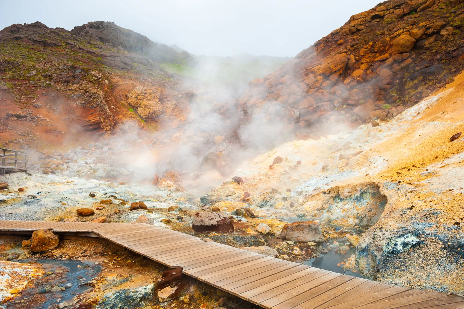
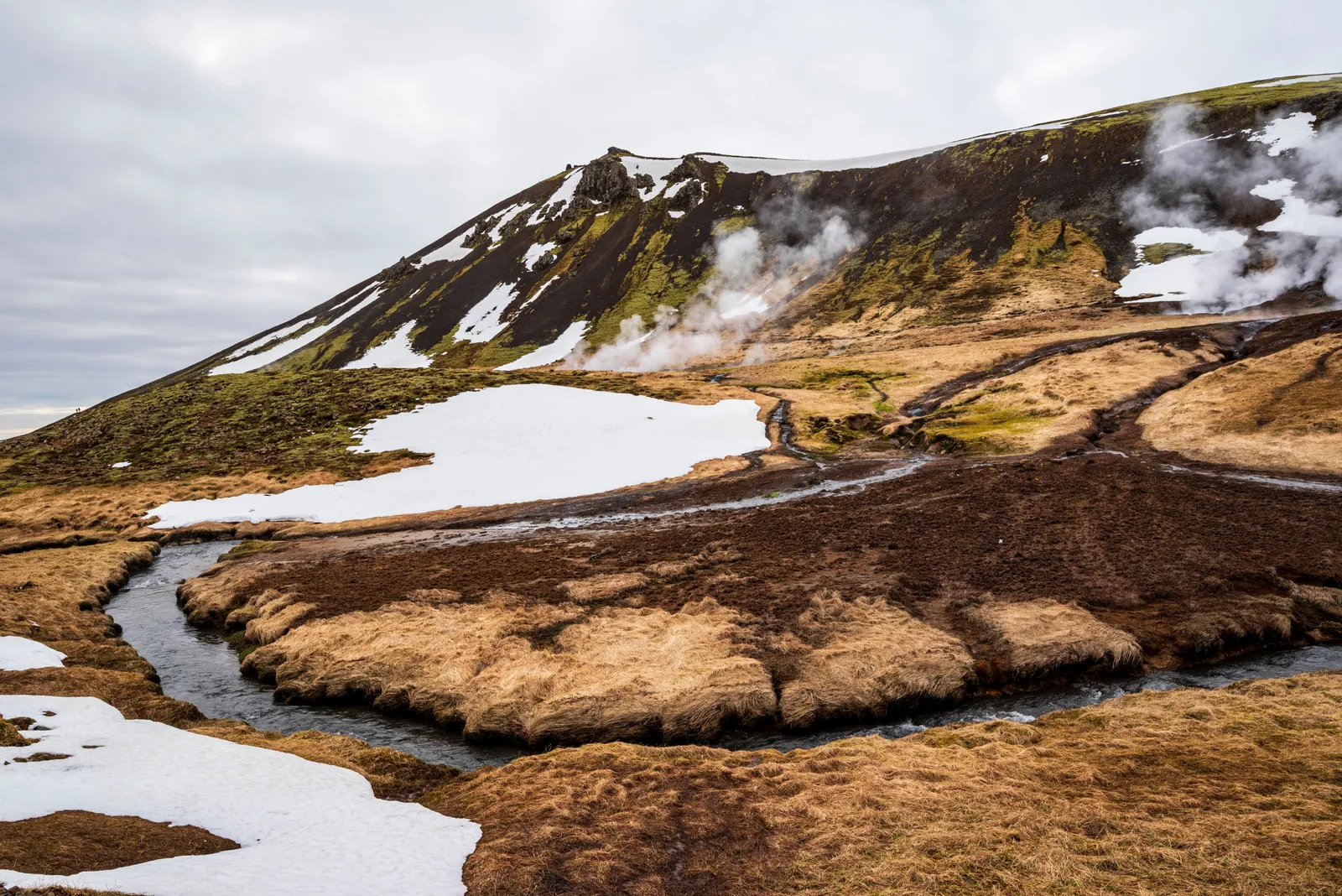
Reykjavík's nearest volcanic systems are not the famous ones. Hengill, the steaming massif southeast of the city, powers two geothermal plants and much of Reykjavík's hot water; it last erupted around 2,000 years ago. Krýsuvík, due south on the Reykjanes peninsula, is a fissure system of boiling mud pots and colored hillsides (the Seltún geothermal area is the visitable showpiece). Both are active in the geological sense — alive, monitored, and expected to erupt again someday — just not recently.
Closest recent eruptions: Fagradalsfjall and Sundhnúkur (~50 km)
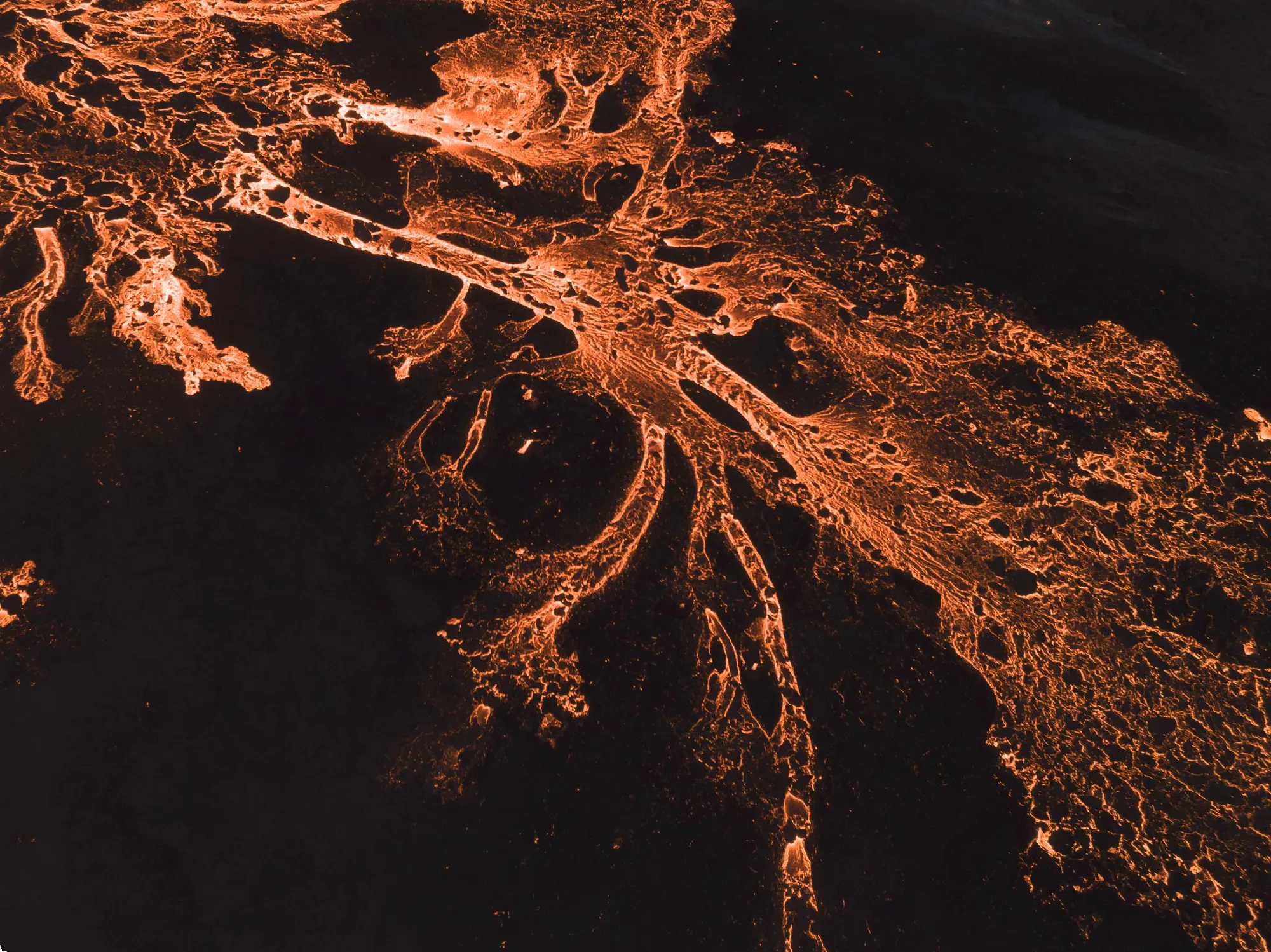
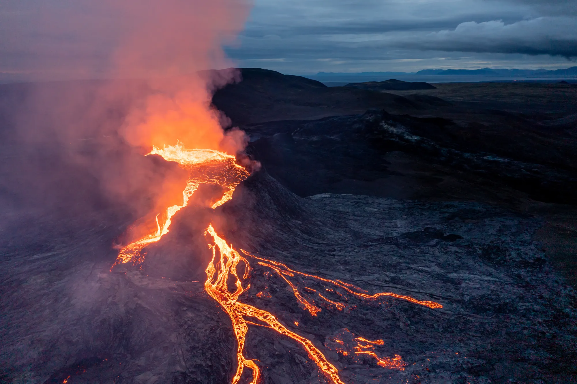
The eruptions you saw in the news happened here: Fagradalsfjall erupted in 2021, 2022, and 2023 — the famous "tourist eruptions" — and the Sundhnúkur crater row near Grindavík erupted repeatedly from December 2023 until August 2025. That's about 50 kilometers from the capital. The fresh lava fields are visitable today on marked paths: black, steaming in places, and younger than the shoes you'll walk them in. Check safetravel.is for trail status before going unguided.
Current status (October 2026)
No eruption is underway in Iceland right now. The last one ended on August 5, 2025. The Icelandic Met Office reports that magma continues to accumulate beneath the Svartsengi area — roughly 29 million cubic meters since the last eruption — and considers a new eruption on the Sundhnúkur row the most likely next event, timing unknown. Live status: en.vedur.is.
And the one inside the city: 0 km
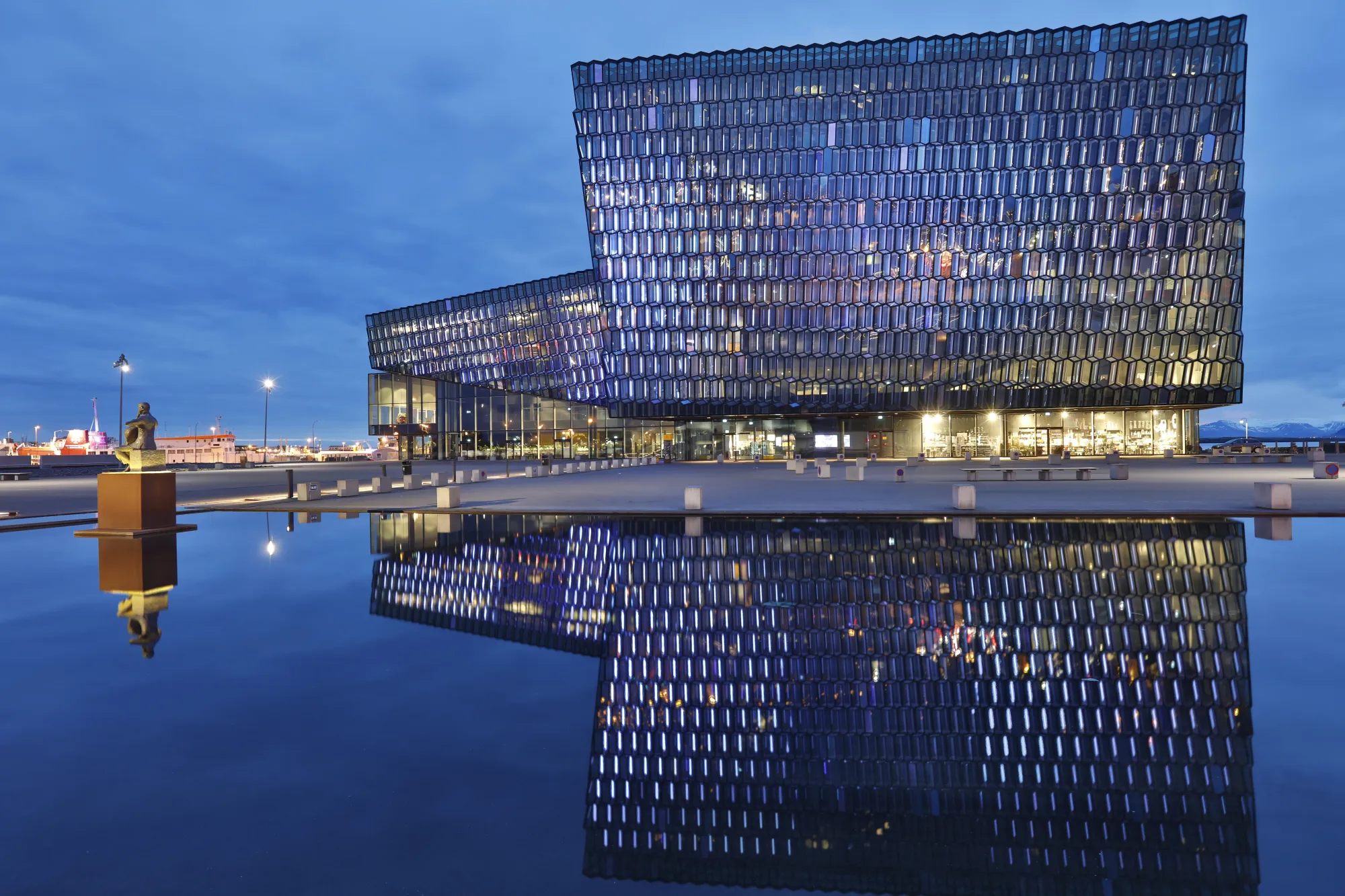
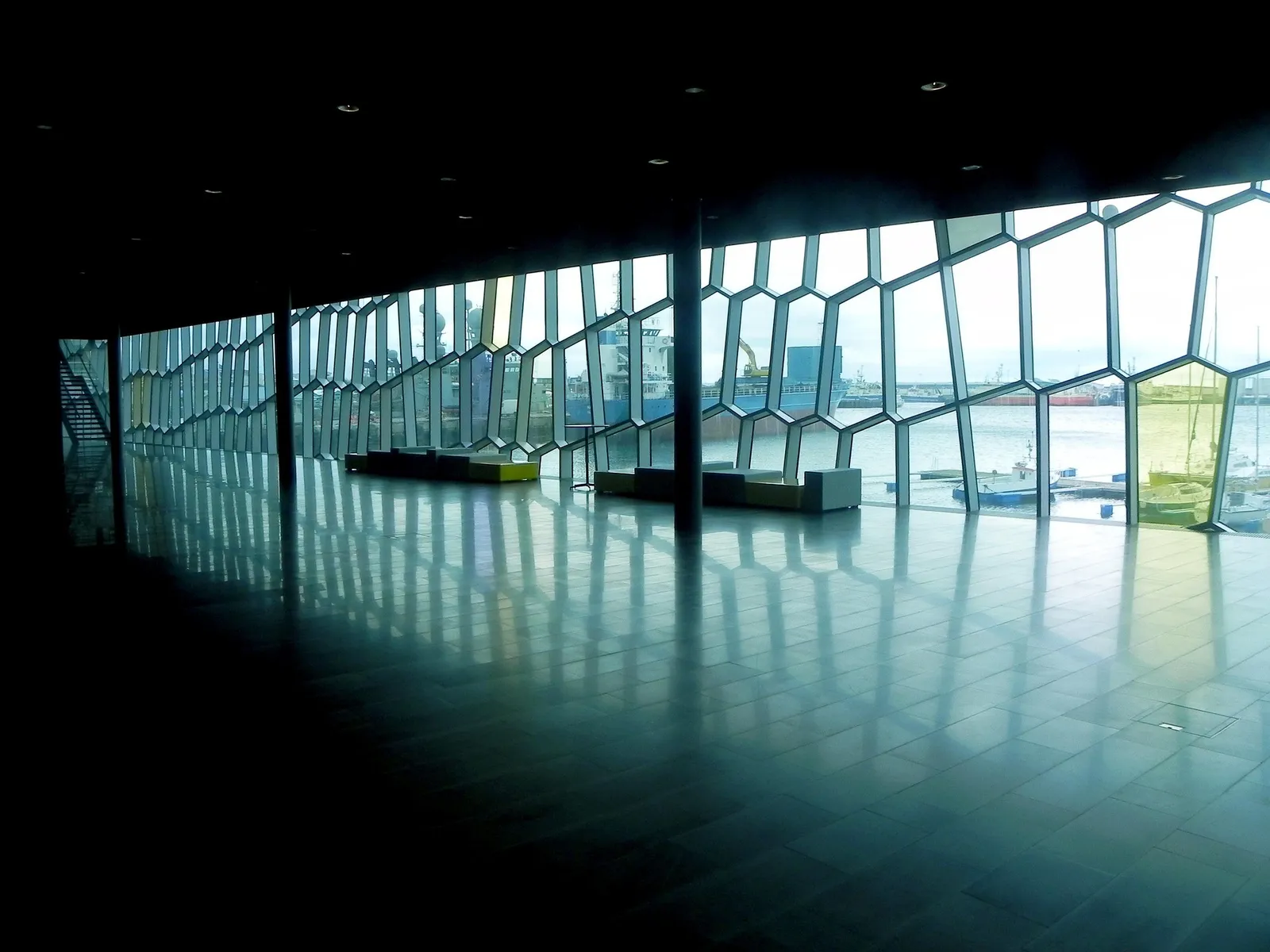
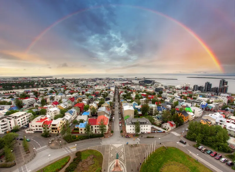
Here's the technicality locals enjoy: parts of Reykjavík stand on lava. The suburb of Hafnarfjörður sits on a lava flow roughly 7,000–8,000 years old, and the capital area's bedrock is stacked eruptions. For the full sensory version without the drive, Volcano Express at Harpa Concert Hall replays Iceland's real eruptions — footage from Fagradalsfjall and Sundhnúkur on a cinematic screen with motion seats and heat, plus a live earthquake monitor showing the peninsula twitching in real time. Every 15 minutes, daily 10:00–20:00. It's the closest you can get to an Icelandic eruption at any given moment — by several orders of magnitude.
Every distance measured from the same doorstep
Travel articles mix up their starting points; here everything is measured from one spot — Harpa Concert Hall's front steps (approx.):
| Volcanic area | Distance | Drive |
|---|---|---|
| Hengill system (Hellisheiði geothermal area) | ~27 km | ~25 min |
| Krýsuvík / Seltún geothermal area | ~32 km | ~40 min |
| Fagradalsfjall trailheads | ~50 km | ~50 min |
| Sundhnúkur crater row (Grindavík area) | ~52 km | ~50 min |
| Volcano Express (real-eruption footage) | 0 m | you are standing on it |
Visiting checklist
- Seltún (Krýsuvík): ~40 min drive, boardwalks, free
- Fagradalsfjall lava fields: ~50 min drive + hike, check safetravel.is
- Hengill area trails: ~45 min drive to the Reykjadalur hot-river valley
- Eruption status before any trip: en.vedur.is
- No car / no time / mid-eruption-pause: Volcano Express, downtown